À la main
Vos lieux sur une petite carte
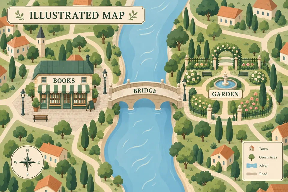
Une carte illustrée aérée. Pour des lieux réels, ajoutez votre propre carte de référence.
Prompt complet
Subject: Un petit village imaginaire avec le titre explicite « CARTE ILLUSTRÉE ». Une rivière traverse le centre verticalement ; une librairie se trouve sur la rive ouest, un jardin sur la rive est et un pont les relie. Seules légendes : « LIVRES », « JARDIN », « PONT ». Horizontal 3:2. Visual style: Clear contours and broad flat-color shapes construct the forms. Moderately simplified, rounded geometric shapes retain the key identifying features. Use no more than two flat values per region, with crisp hard-edged shadows; express depth through contrasts in value, color temperature and the relative areas of color blocks. Bright, fresh, soft, airy colors and a pure smooth surface. Minimalist, concise and modern, with the light character of contemporary commercial and editorial illustration. Layout: Xiaohongshu infographic. Layout: real map with annotations, using an authentic map outline, streets, waterways, or regional relationships as the main visual. Place location markers, very short explanations, and a few small icons on the map. Keep annotations away from important features, maintain clear hierarchy, and use a simple legend rather than a dense list. Palette: Theme color: Sage Green. Sage green with warm sand and ivory. The subject brief is the sole source of content; style changes rendering only. Do not add unrequested brands, characters or artist signatures. Retain every requested module, quantity, action, composition, detail and constraint; do not summarize them away. Explicit user content, exact copy, color and no-text requirements take priority. A selected palette overrides only the style’s default colors, preserving its other characteristics. Preserve the spatial relationships of the supplied map. Without a map reference, label it as schematic; never claim geographic accuracy. If the subject requests no text, draw no lettering, even in a layout with text areas. Otherwise integrate typography into the composition. Preserve any exact copy in the brief; otherwise develop meaningful copy in the subject’s language instead of literally describing the picture. For conceptual subjects, design a human or nonhuman visual metaphor first, then integrate words and image into one composition. Never shorten supplied copy unless asked. Use only supplied places, data and facts; never invent opening hours, prices or distances.